

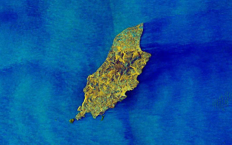
A European space mission has released a unique image of the Isle of Man taken from orbit.
The Copernicus Sentinel satellite is jointly run by the European Commission and the European Space Agency and monitors sea conditions.
It's released a picture of the Irish Sea taken from 430 miles above the Earth's surface using dual-polarization radar technology.
In the image, rougher seas appear lighter while calmer waters are a darker colour.
 Drone ban for skateboarding championship
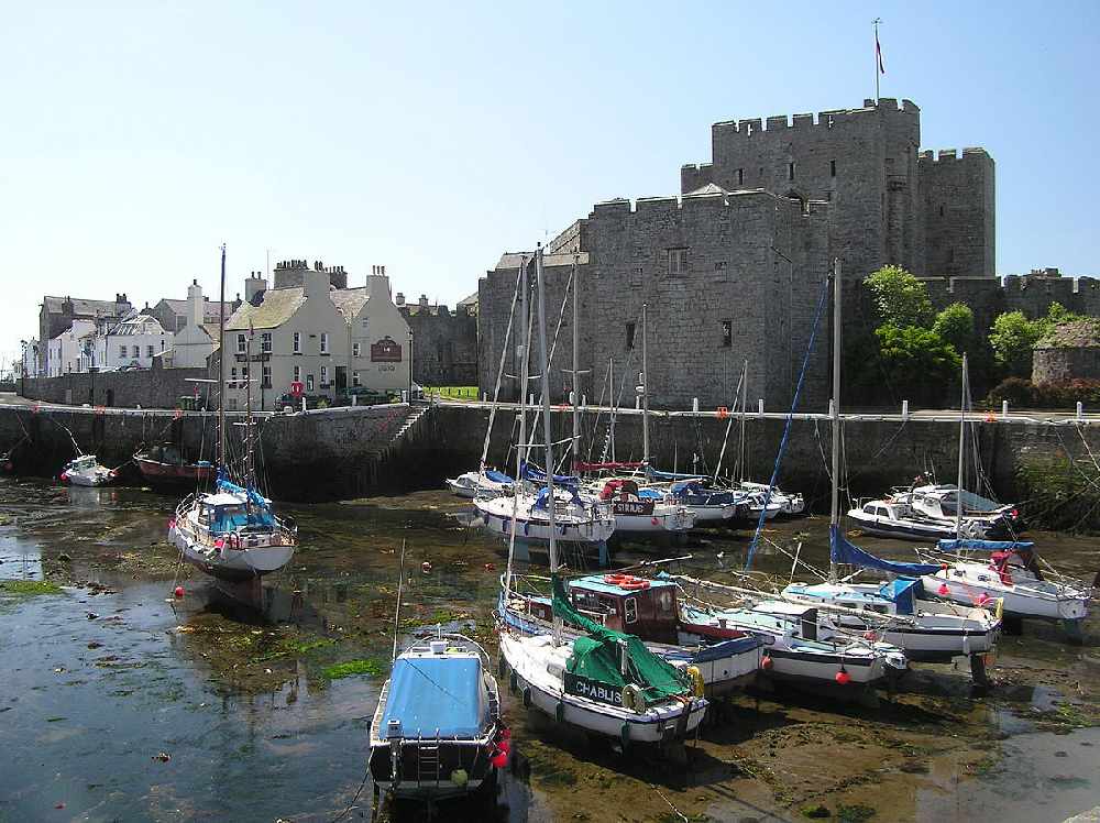 Pick it up plea from Castletown commissioners
 New online Isle of Man guide for refugees and asylum seekers
 Lifeboat called to yacht's rescue
 Government reveals TT viewing figures
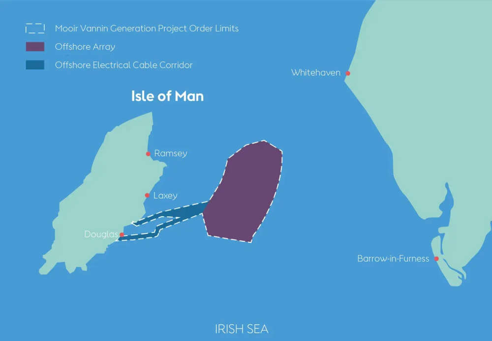 Final wind farm hearings set for July
 Cocaine dealer to appeal 14-year jail term
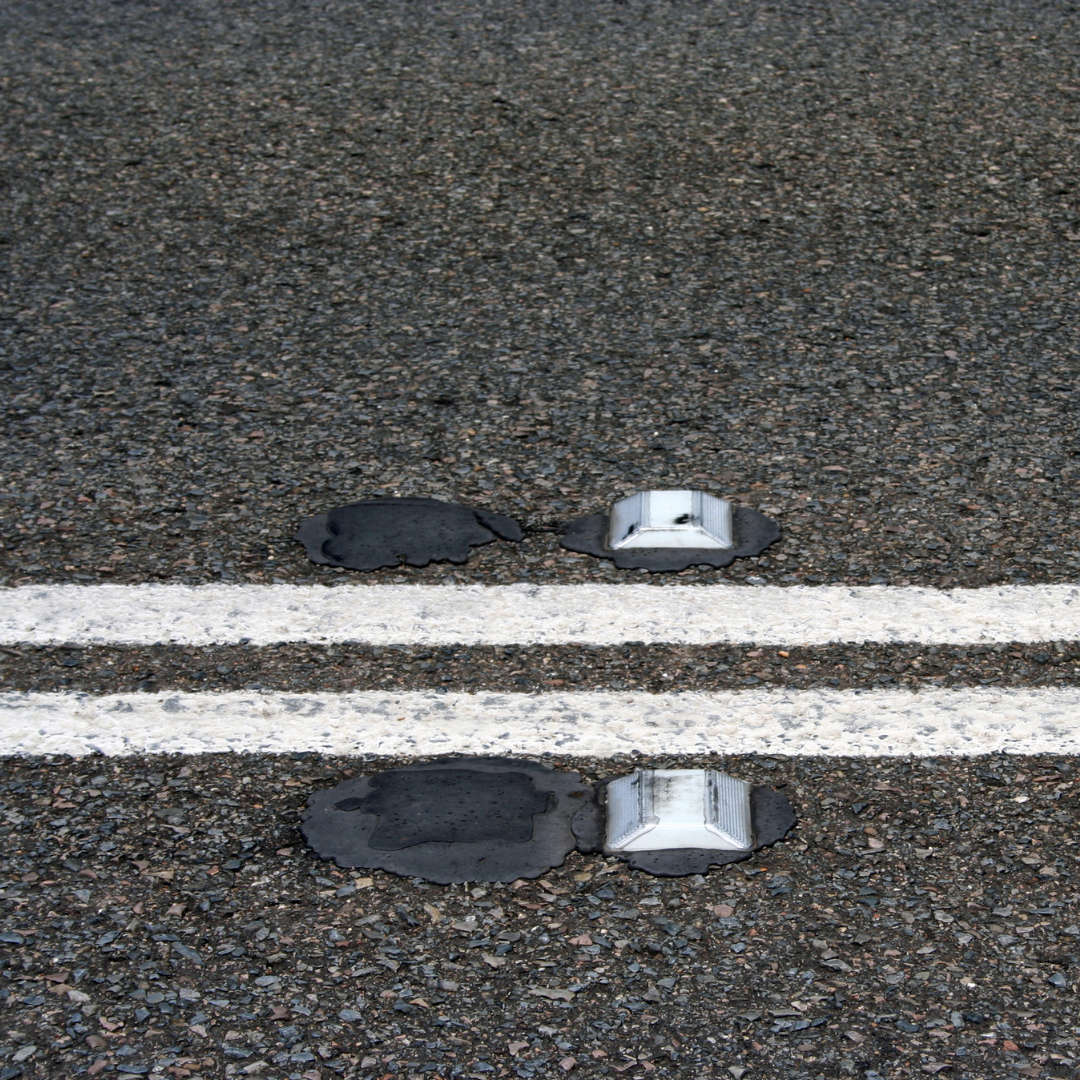 Infrastructure Minister defends road checks for cat’s eyes work