

An amber weather warning is in place with more wintry showers expected throughout this afternoon and into this evening.
It's thought it will fall as sleet or hail to low levels, and snow over hills above 300ft - snow may fall on lower ground depending on the intensity of the showers.
Further slight snow accumulation of up to 2cm is possible in some places.
Surface temperatures are expected to fall below zero from around 5pm, leading to widespread ice developing on untreated surfaces.
It's expected to remain sub-zero over the hills until at least late tomorrow morning.
 Rapists's appeal against sentence thrown out
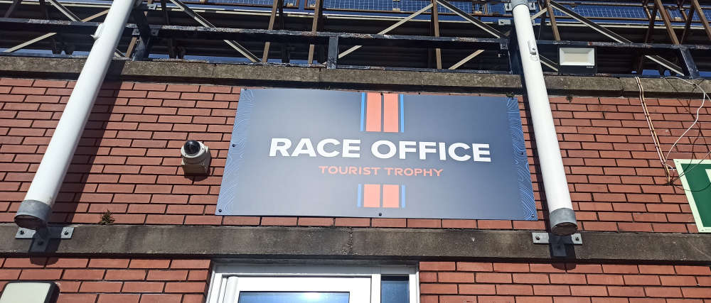 Last chance to become next TT's charity partner
 No gas price hike after regulator review
 Cafe hits back after staff abused
 Online appointments being considered by sexual health clinic
 Treasury can’t say how much is made from medicinal cannabis
 Road closures planned for tin baths this weekend
 DOI has no junction safety concerns over Iceland plans