

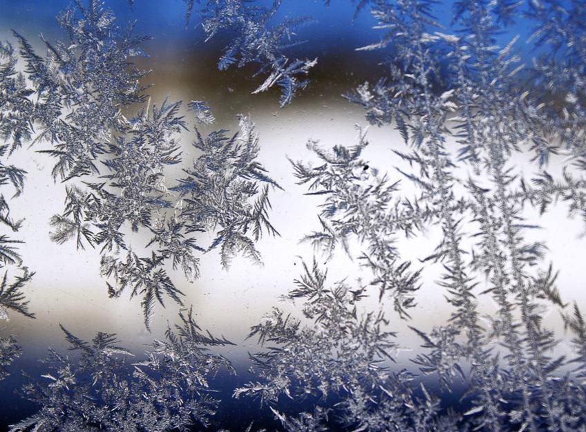
A yellow weather warning for sleet and snow and an Amber for ice are set to come into force later today.
The yellow notice runs from 5pm this evening until 3am tomorrow morning.
Ronaldsway Met Office says scattered showers will develop from dusk, merging into a longer spell of rain this evening.
The rain will turn increasingly to sleet or snow over higher ground (above around 800FT), with a mixture of rain and sleet at lower levels later in the night giving some temporary slushy accumulations.
Meanwhile, an amber warning for ice will be in place from 3am tomorrow morning until 3pm in the afternoon.
Forecasters predict once the rain, sleet and snow clears during the early hours of Monday morning, clear skies will develop and road surface temperatures will fall widely below freezing as cold air moves in across the island.
This will lead to icy stretches forming on untreated surfaces due to the roads still being wet.
Road surface temperatures at low levels will very slowly recover during Monday morning, however temperatures over higher ground and in well-sheltered spots will remain below freezing throughout the day with a continuing risk of ice.
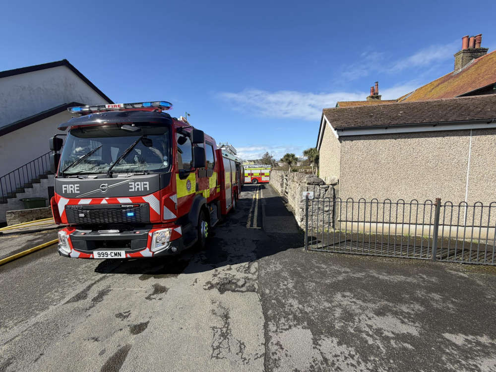 Firefighters tackle flat fire down South
 Weather warning for storm Dave this weekend
 Roads to close for music festival this weekend
 How long do mental health patients stay in Manannan Court?
 Could you take over this former restaurant?
 Framework of new Sea Services Agreement ready, says minister
 Attorney General says he's stepping down
 Road closures in two towns for running event this week