


An amber weather warning is in place with more wintry showers expected throughout this afternoon and into this evening.
It's thought it will fall as sleet or hail to low levels, and snow over hills above 300ft - snow may fall on lower ground depending on the intensity of the showers.
Further slight snow accumulation of up to 2cm is possible in some places.
Surface temperatures are expected to fall below zero from around 5pm, leading to widespread ice developing on untreated surfaces.
It's expected to remain sub-zero over the hills until at least late tomorrow morning.
 New laws for young workers come into force today
 Manx Care extends mental health service to more surgeries
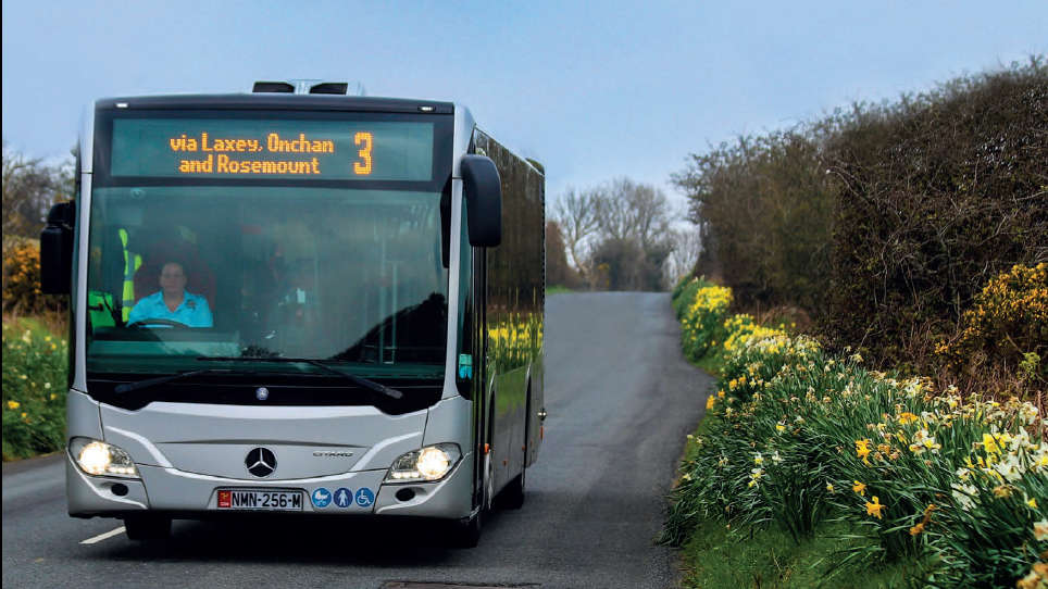 Bus Vannin confirms normal services to run over Easter
 Steam Packet's new Northern Irish route launches today
 Creamery reassures milk buyers over price rise
 April fool - did you get caught this morning?!
 Tea room shuts its doors for good
 Milk up more than 5p a pint from today