


A weather warning for ice and wintry showers is in force across the Island.
The yellow warning is in place until 3pm this afternoon.
The Met Office says temperatures on higher roads will fall close to slightly below zero giving a risk of icy patches.
Forecasters predict wintry showers will develop, and these are likely to give slight accumulations of snow or hail on the high ground (1-3 cm, again above about 700-1000 feet), maintaining the risk of ice. Anything lower down will be temporary.
However, later in the night and at first tomorrow morning winds will ease, and this could lead to road temperatures on low ground falling to around zero as well, especially in sheltered spots. With many surfaces likely to be wet or damp, icy patches may form.
 President of Tynwald announces retirement
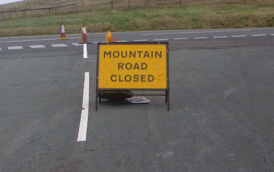 Police close Mountain road
 Fuel firm says "fingers crossed" for calmer energy costs
 Ring doorbells will need data protection registration - but shouldn't cost you money
 Hospice UK head calls Island cuts "cack-handed" ministerial muddle
 Bus drivers voting on "final offer" from government
 Vampire show featuring Manx ferry cancelled
 Did chief minister's message spark fuel panic-buying?